If you stand on the cliffs of Point Loma on a clear January day, you’ll see something that defies logic. Just a mile or two offshore—sometimes even closer—massive 40-ton animals are cruising past the city limits. They aren’t lost. They aren’t wandering aimlessly. They are following an ancient, invisible highway that funnels them right past San Diego’s front porch.
Locals call it the “Gray Whale Highway.” But scientifically, it’s a masterpiece of underwater geography. San Diego isn’t just a random stop on their 10,000-mile journey; it’s a critical bottleneck where geology, instinct, and survival strategies collide.
The Bathymetry Factor: Reading the Ocean Floor
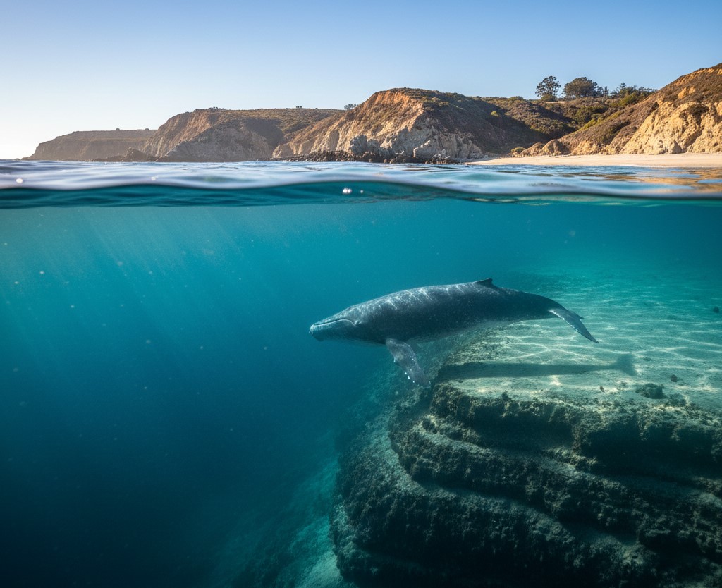
San Diego’s unique underwater topography, specifically the narrow continental shelf and the plunging depths of the La Jolla Canyon, forces migrating gray whales to hug the coastline. By navigating the shallow waters between the deep ocean drop-offs and the shore, whales conserve energy and utilize “bathymetric piloting” to guide their journey south.
I remember the first time I looked at a bathymetric map of San Diego—basically a topographical map of the ocean floor. Suddenly, everything made sense. It was like seeing the “cheat sheet” for finding whales.
See, gray whales are coastal navigators. Unlike blue whales or fin whales that roam the deep pelagic zones far offshore, grays prefer the shallow continental shelf. They like keeping the bottom within reach, usually staying in water less than 300 feet deep.
But here’s the kicker: off the coast of San Diego, that continental shelf gets incredibly narrow. In some places, the drop-off into the abyss is just a few miles from the beach. It creates a natural funnel. The whales don’t want to go out into the deep, dark open ocean (we’ll get to why in a minute), so they squeeze through this narrow corridor of shallow water.
And that corridor? It runs right past our coastline. It’s like nature designed a viewing platform just for us.
The La Jolla Canyon Detour
If you’re watching from Torrey Pines or La Jolla, you might notice the whales move a bit differently. That’s because of the La Jolla Canyon. This massive underwater gorge slices right into the shelf, bringing deep water almost to the shoreline—we’re talking 500-foot drops just a stone’s throw from the beach at La Jolla Shores.
When the whales hit this canyon, they have a choice: swim way out around it, or cut across the deep water and pick up the shelf on the other side. Most of them hug the rim. It’s fascinating to watch—they trace the invisible contours of the canyon, using the underwater cliffs as landmarks.
Safety Strategy: Avoiding the “Kill Zone”
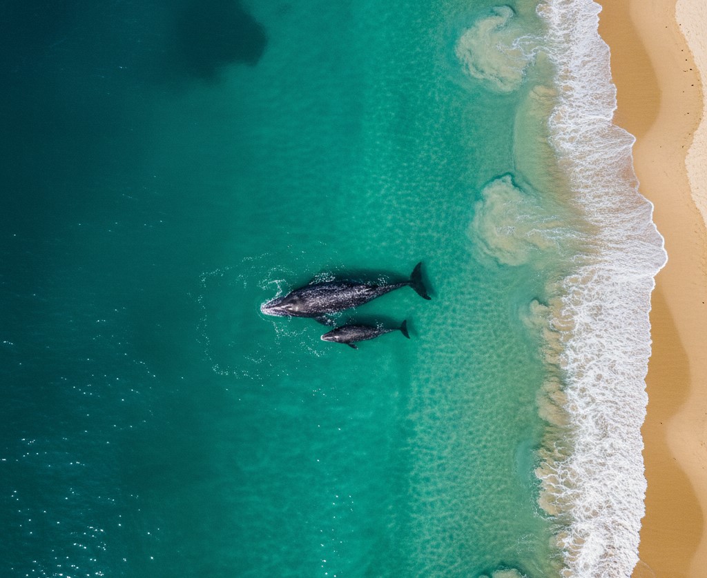
Gray whales, particularly mothers with calves, swim close to the San Diego shore to avoid predation by transient orcas that patrol deeper waters. The shallow coastal zone acts as a natural shield, making it difficult for killer whales to coordinate attacks and allowing gray whales to hide in the surf and kelp beds.
Let’s get real for a second. The migration isn’t just a leisurely road trip; it’s a gauntlet. And out in the deep water? That’s where the monsters live.
Transient orcas (killer whales) are the gray whale’s only natural predator. These aren’t the fish-eating orcas you see in movies; these are mammal hunters. They patrol the deeper waters off the continental shelf, looking for vulnerable calves.
So, the gray whales stick to the shallows. It’s a survival tactic. I’ve seen drone footage that would make your heart stop—a mother gray whale pushing her calf almost into the surf zone, right into the breaking waves, while a pod of orcas circles just a few hundred yards out in deeper water. The orcas can’t maneuver well in the shallow, turbulent surf. The mother knows it.
This is especially true during the northbound migration in March and April. You’ll see mothers and babies so close to the beach you’d swear they were going to run aground. They aren’t lost; they’re hiding. They’re using our beaches as a shield.
The Acoustic Game of Hide and Seek
Here’s something that blew my mind when a marine biologist explained it to me: gray whales are quiet. Like, really quiet.
While humpbacks are out there singing complex arias that can be heard for miles, gray whales keep their communication to a minimum while migrating. They whisper. They use low-frequency grunts and knocks that don’t travel as far. Why? Because orcas have excellent hearing. If you’re trying to sneak a baby past a pack of wolves, you don’t sing opera. You tiptoe.
Navigation 101: How Do They Know Where to Go?
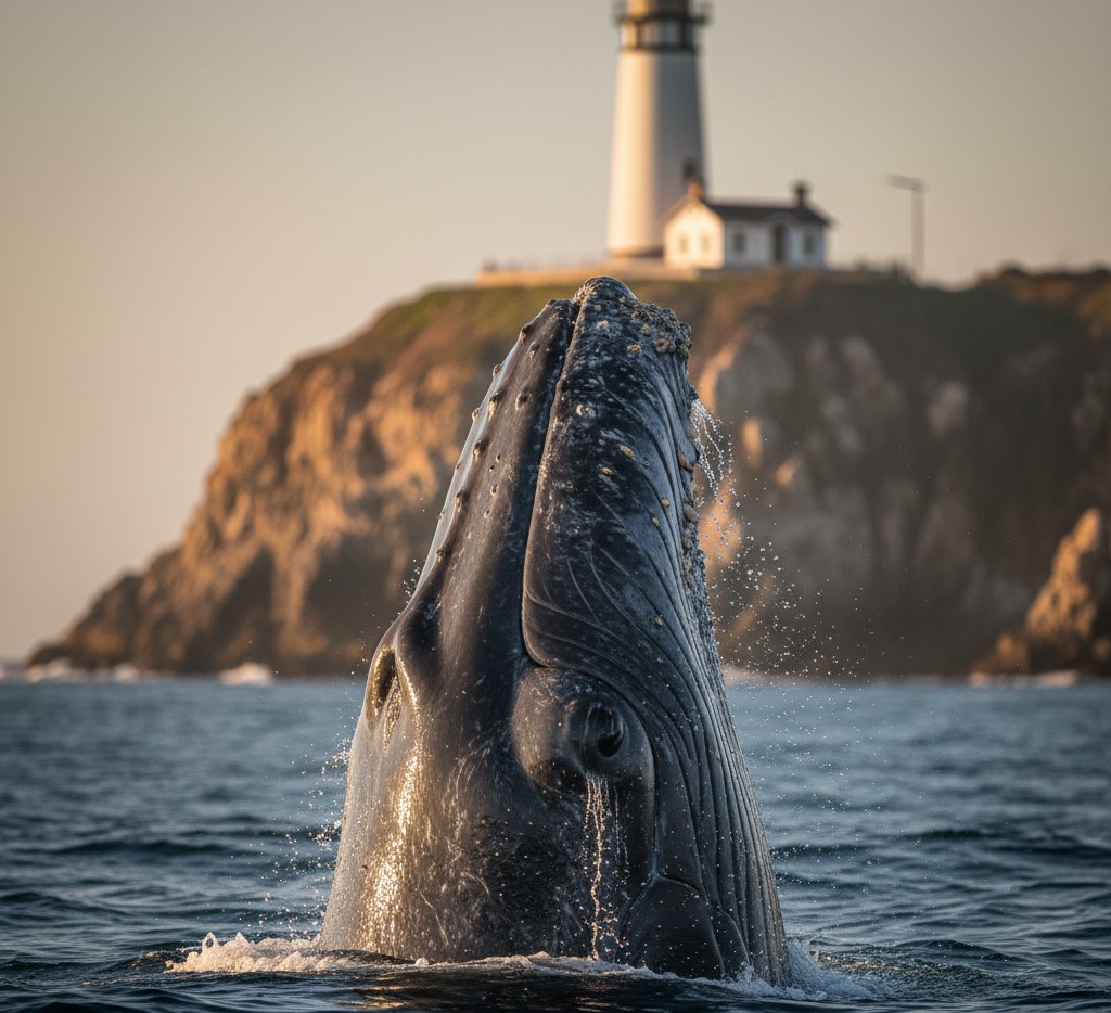
Gray whales rely on “spy-hopping”—vertically lifting their heads out of the water—to visually identify coastal landmarks like headlands and cliffs for navigation. This visual triangulation, combined with their ability to sense the magnetic field and ocean bottom sediments, allows them to maintain a precise course along the coastline.
I used to think spy-hopping was just curiosity. “Oh look, the whale is saying hi!” Yeah, no.
When a gray whale pops its head out of the water off Point Loma, it’s likely taking a bearing. “Okay, there’s the lighthouse. There’s the headland. Turn left.” They are essentially triangulating their position.
Think about it: they’re traveling 5,000 miles one way. They don’t have GPS. But they have a mental map of the entire Pacific Coast stored in their brains, passed down from mother to calf. They recognize the shape of Point Loma. They know the curve of La Jolla.
I once watched a whale spy-hop three times in a row right off the tip of the point. It looked around, oriented itself, and then adjusted its course south. It was as deliberate as a captain checking a chart.
Why the “Parade” is Visible from Land
The geographic prominence of the Point Loma peninsula, which juts nearly three miles into the ocean, places land-based observers directly adjacent to the gray whale migration path. This unique positioning makes Cabrillo National Monument one of the only locations in the world where thousands of whales can be viewed from land without binoculars.
San Diego has a geographical superpower: Point Loma.
Look at a map. Point Loma isn’t just a hill; it’s a giant finger sticking out into the ocean. Because the whales are already hugging the coast, this peninsula forces them to squeeze around the tip.
At Cabrillo National Monument, you’re standing 400 feet up, looking down at that exact pinch point. You aren’t looking at the horizon; you’re looking down into the water. On a good day in January, you don’t just see a spout; you see the gray body of the whale moving underwater. You see the turquoise footprint left by its tail.
It’s honestly unfair advantage. In other places, you need a boat and three hours of patience. Here? You just need a parking spot and a cup of coffee.
Respecting the Corridor
When you realize why they are here—the geology, the predators, the navigation—it changes how you see them. They aren’t performing for us. They are working. They are navigating a dangerous, ancient corridor that their ancestors swam when mammoths were still walking around California.
So when you see that spout just past the breakers, remember: you’re watching a master class in survival. You’re watching a mother protect her calf using the very geography of our city.
San Diego isn’t just a beach town. For three months a year, it’s the most important highway on the West Coast. And we’ve got the best seats in the house.